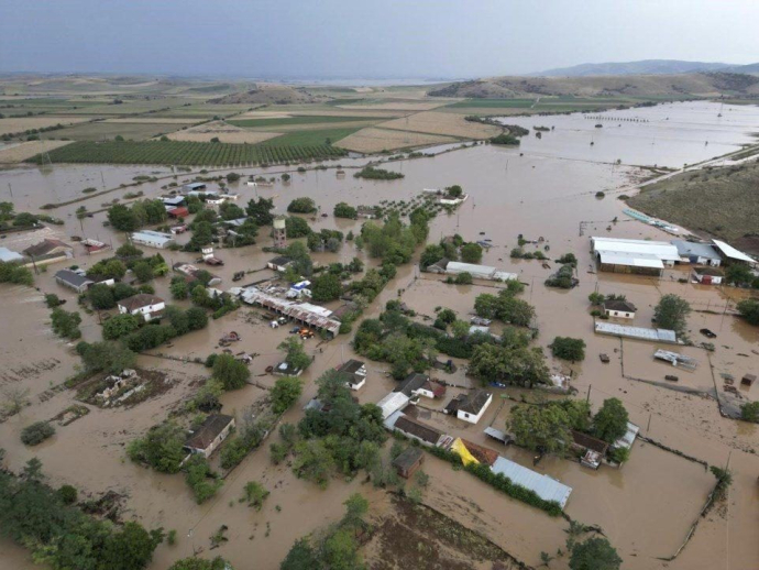
Week of intense weather instability begins today

In places, heavy rains and thunderstorms, which in many cases will be accompanied by hail, will occur in the noon, afternoon and early evening hours, mainly in the mainland. The temperature is expected to drop significantly from tomorrow Tuesday and in the western parts of the country from the day after Wednesday.
Today, rains are expected from the morning hours in the mountains of the central and northern country, which will gradually strengthen and expand to the rest of Thrace, Central and Eastern Macedonia, Thessaly, Eastern Sterea, Peloponnese, North and East. Aegean, in the Sporades and in Evia. From noon, there will be thunderstorms and the effects will be very strong in places, while in many cases they will be accompanied by hail.
Heavy rains, thunderstorms and possible hail are expected at noon and in the afternoon in the prefecture of Thessaloniki, while in Attica the strongest phenomena will occur in northern sectors of the prefecture. The Regional Precipitation Index (RPI) is at level 2 of the five-point meteo index.