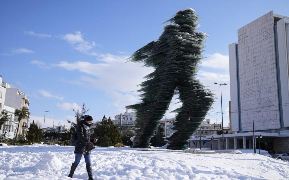
Winter-storm "Barbara": Heavy snowfall contiues in Attica until Thursday - Citizen updated recommendations
Mr. Marousakis states in detail:
"An atmospheric disturbance from the region of the Peloponnese which the atmospheric models did not estimate correctly, resulted in a slight increase in temperature and a much higher relative humidity, so the recurrence of the weather that we expected last night did not give us the foreseen.
But now this disturbance recedes further and further south, paving the way for the descent of the snow mass spreading to Thebes, Volos and beyond. The forecast therefore calls for periods of heavy snowfall in the prefecture of Attica until around Thursday morning. As I have been saying for days via media, this bad weather for Attica can remind us of 2002".
"We remain ready! Nothing is over!”
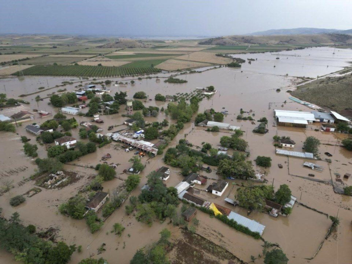
The severe weather front that has hit Greece since Sunday affecting mainly the eastern and southern parts of Greece will continue until Wednesday with new snowfall at low altitudes of the eastern areas, Evia and Crete, as well as with rain or sleet in the Aegean, according to the new forecast data of the National Observatory of Athens/Meteo.gr.
Hellenic Electricity Distribution Network Operator said it was on alert for power cuts due to the weather, and had placed over 150 people on call on Evia island, hard hit by snow, and in Attica it had over 800 staff on call with special machinery and power generators among others, in addition to crews to handle trees that may fall on power lines.
Attica Region head of metropolitan infrastructure Panagiotis Kariotis told ANA-MPA there are 117 heavy machines, of which 58 are large snow plows with blades and salt-scatterer and 22 smaller ones, along with cranes and 4x4 cars to help people trapped in cars on roads and for possible transport to hospitals.
In Attica, traffic police has said drivers moving in the entire road network of the Attica prefecture must carry snow chains or other non-slip equipment.
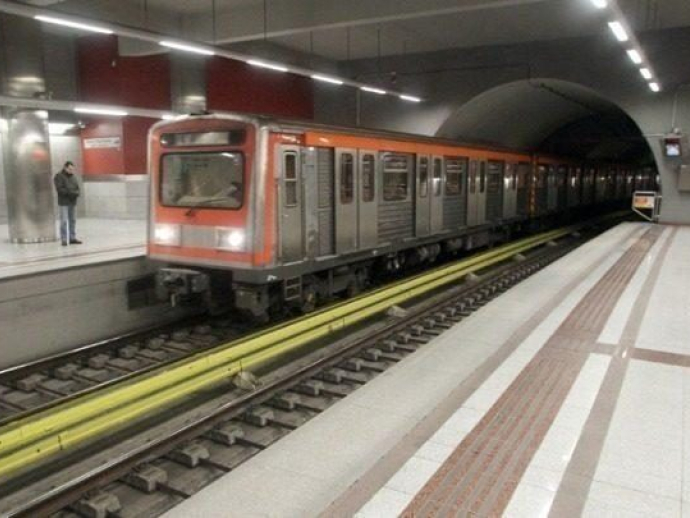
Hellenic Train cancellations
Intercity trains 62 and 63 running between Athens and Thessaloniki and the 887 train service between Kalabaka and Athens have been cancelled due to the worsening weather, Hellenic Train announced on Monday evening. It also cancelled Tuesday schedules.
Retailers to reopen after 11:00
Retail stores that were shut on Monday due to the weather reopen 11:00 am on Tuesday in the north, northwest, and northeast Attica, a Development & Investments Ministry announcement said, following a coordination meeting under the Climate Change & Civil Protection Minister Christos Stylianidis.
Stores in northern suburbs of Athens also reopened, it said. Exemptions to the above are pharmacies and gas stations, which may open earlier.
At the same time, courier or delivery services in all of the above areas as well as in Magnissia, Fthiotida, Viotia, Evia, and the Sporades Islands, were suspended until 11:00 am on Tuesday because of icy conditions.
All Civil Protection services will remain on alert throughout the night, while the Civil Protection Ministry also cautioned all people to keep their outdoor movement to the bare minimum. Updated information on the road network will be available through the Greek police web page, while weather reports will be available on the National Meteorological Service, it said.
In addition, all cars must carry with them anti-skidding equipment, which the police will be checking for.
Some schools remain shut, open markets restart
Primary and secondary schools in areas still facing problems from the weather front 'Barbara' will remain shut for a third day on Wednesday, Regional Director for Attica George Patoulis said on Tuesday, following meetings with mayors and meteorologists.
In addition, he said, all open markets throughout Attica may go ahead as of Wednesday. They had been out of operation on Monday and Tuesday.
Further details on school schedules will come from the municipalities themselves.
For Wednesday (08/02/2023):
Snowfall is expected to continue in the Sporades, eastern Thessaly, Evia, eastern Sterea, as well as in mountainous and semi-mountainous areas of the northern Cyclades and Crete. In particular, in eastern Magnesia, central and northern Evia, Fthiotida and Boeotia, intensity of the phenomena is predicted in places until the midday hours.
Especially for Attica, sleet and temporary snowfalls are forecast, which in some places in the north will occur at a lower altitude and will be denser at times until the midday hours. In addition, strong frost will occur in the continental areas until Thursday (09/02/2023), which in the northwest will be total in places (negative temperatures throughout the day). At the same time, the General Secretariat of Civil Protection recommends that citizens be particularly careful, taking measures to protect themselves from risks arising from the occurrence of severe weather phenomena.
In particular, in areas where snowfall and frost are predicted:
If going to travel by car:
To be informed about the weather and the condition of the road network
Have skid chains on their vehicle and a full tank of fuel
To travel, if necessary, preferably during the day preferring the main roads
To inform their relatives about the route they are going to follow
Change their travel schedule to avoid peak weather conditions
To faithfully follow the instructions of the local authorities, such as Traffic, etc.
If moving on foot:
Dress in several layers of light clothing rather than a heavy garment and wear appropriate footwear to avoid slippery injuries
To avoid unnecessary movements during the peak of the phenomena (heavy snowfall, freezing conditions)
Also, in areas where heavy rainfall, storms or gale-force winds are expected to occur:
To secure objects which, if carried away by severe weather conditions, may cause damage or injury.
Make sure that the gutters and downspouts of the houses are not blocked and are working properly.
Avoid crossing torrents and streams, on foot or by vehicle, during storms and rainfall, but also for several hours after the end of their event
Avoid outdoor work and activities in marine and coastal areas during severe weather events (risk of lightning strikes).
Take shelter immediately during a hailstorm. Take shelter in a building or car and do not leave the safe area until they are sure the storm has passed. Hail can be very dangerous for animals too.
Avoid passing under large trees, under posted signs and in general areas where light objects (e.g. pots, broken glass, etc.) can become detached and fall to the ground (e.g. under balconies) .
To faithfully follow the instructions of the local authorities, such as Traffic, etc.