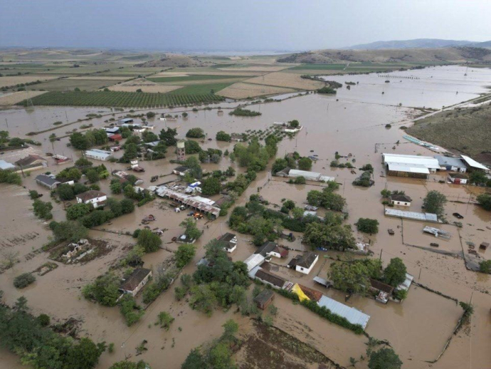
EMY Emergency Bulletin: "Spring" is leaving - Rains and storms are coming
The intense phenomena that will start from the west will quickly spread to the central and eastern mainland, the Cyclades and Crete and gradually to the islands of the eastern Aegean and the Dodecanese.
The phenomena will be accompanied by strengthened southeasterly winds up to 7 and locally in the Ionian 8 Beaufort and possibly by hail.
Which areas will be affected and when?
On Sunday (25-02-24) heavy rains and storms are predicted from the evening hours in the Ionian Islands, the western and southern Peloponnese and western Crete.
On Monday (26-02-24):
It will rain from the early morning hours in central Macedonia, Thessaly (mainly the east), eastern Sterea (temporarily including Attica), the Cyclades, Crete (mainly the south) and temporarily in western Macedonia and the Peloponnese with gradual weakening of the phenomena from the afternoon.
From the midday hours, the islands of the eastern Aegean (from Chios and further south) and the Dodecanese will be affected.
On Tuesday (27-02-24):
The intense effects will be maintained in the southern regions of the Dodecanese and will gradually weaken by noon.


