"Polar air current" is coming: temp drops forecast by 10 degrees
As he says in his post, the "polar storm" will also bring snow to the mountains and heavy rains.
In detail, the post of the meteorologist is as follows:
"Good morning! "The polar jet stream is displacing dust and dropping temperatures by 10 degrees! Also bringing snow to the mountains and heavy rain Friday-Saturday."
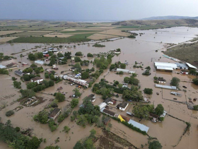
Today is the last day with dust, with the mud rains keeping us busy until the evening mainly in the western and northern country. Thursday 18/4 is a transitional day. Local rainfall will occur in the west, north and east of the island country and the temperature will drop 4 to 5 degrees. However, on Friday and Saturday the "atmospheric river" (aerohemarros) - image - located high in the atmosphere will descend to more southern latitudes and will change the weather in the country with rain, storms, further drop in temperature and even snow!"
Specifically:
On Friday 19/4, large amounts of rain are expected in western and northern Greece, some snow at high altitudes (1400 m) and a drop in temperature.
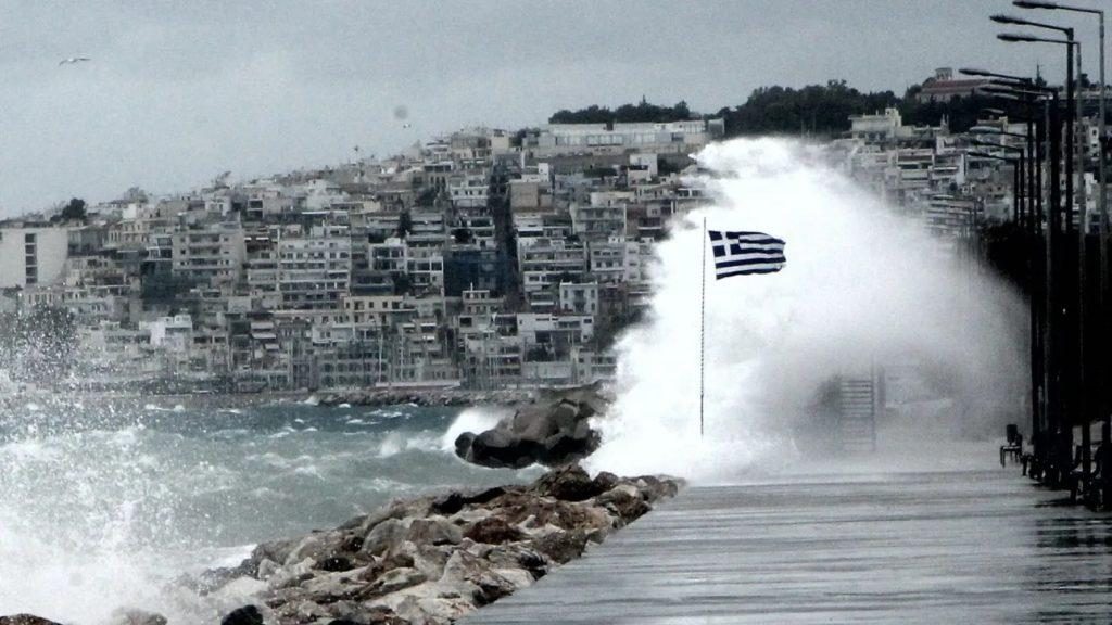
On Saturday 20/4 the most rains (locally heavy) will occur in the morning hours in Thessaly, the Sporades, Macedonia, Thrace, the eastern Aegean and the Dodecanese. Strong north winds will also blow.
On Sunday 21/4 a second disturbance will create milder phenomena in central and northern Greece.